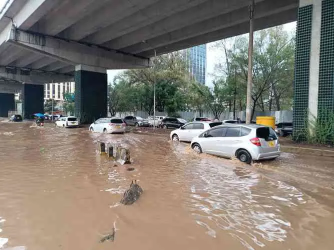
A new mapping exercise conducted under the Nairobi Rivers Regeneration Programme has identified 37 neighbourhoods across the city that are highly vulnerable to flooding, particularly those located along major river corridors.
The assessment highlights communities situated along the Nairobi River and its tributaries, including the Mathare River and the Ngong River, where settlements are either built close to riverbanks or in low-lying areas prone to seasonal flooding.
Officials say the mapping is intended to guide risk mitigation, urban planning, and emergency preparedness, especially as heavy rains continue to affect parts of the country.
Areas Identified in Nairobi East
In the eastern parts of the city, several densely populated estates have been flagged as vulnerable due to their location along downstream sections of the river system.
The areas include Kiambiu, Dandora, Kariobangi, Kayole, Komarock, Njiru, Ruai, Mwiki, Donholm, Savannah, Tassia, and Fedha.
Many of these neighbourhoods sit along sections of the Nairobi River and smaller tributaries that often overflow during periods of intense rainfall.
Flood-Prone Locations in Nairobi West
In the western corridor of the city, authorities identified several residential and commercial areas located along upstream and midstream sections of the river network.
The affected neighbourhoods include Madaraka, Nairobi West, Lang’ata, Kawangware, Kangemi, Lavington, Westlands, Parklands, Kitisuru, Spring Valley, Kileleshwa, and Chiromo.
Urban planners note that while some of these areas are considered upscale neighbourhoods, their proximity to river channels still exposes them to flood risks, especially during prolonged rainfall.
High-Risk Settlements in Nairobi North
In the northern corridor of the city, informal settlements located along the Mathare River were also identified as high-risk zones.
Neighbourhoods such as Mathare, Korogocho, and Lucky Summer have been highlighted due to dense housing developments that closely border the riverbanks.
Experts warn that limited drainage infrastructure and overcrowded housing patterns significantly increase vulnerability to flooding in these areas.
Key Locations in Nairobi Central
Within central Nairobi, several locations where the Nairobi River passes through densely built commercial zones have also been mapped.
These include the Central Business District (CBD), Globe, Gikomba, Eastleigh, and the Industrial Area.
Authorities say flooding in these areas can cause major disruptions to business operations, transport, and economic activity, particularly when drainage systems become overwhelmed.
Flood Hotspots in Nairobi South
In the southern part of the capital, the mapping exercise identified neighbourhoods located along the Ngong River corridor.
The areas include Kilimani, Kibera, South C, South B, Mukuru Kwa Reuben, and Kwa Njenga.
Some of these communities, particularly informal settlements, have historically experienced flooding during heavy rains, often leading to property damage and displacement of residents.
Government Urges Vigilance
The Ministry of Interior and National Administration has urged residents living near riparian zones and low-lying areas to remain vigilant during periods of heavy rainfall.
Authorities are advising residents to prioritise safety, avoid building or settling along riverbanks, and follow evacuation instructions when necessary.
The government says the mapping exercise will also support ongoing efforts to restore Nairobi’s rivers, improve drainage systems, and reduce environmental degradation along the river corridors.
Officials further emphasised that continued cooperation between residents, county authorities, and national agencies will be critical in reducing the risk of flood-related disasters in the capital.